Prado Dam
26 mi north · US Army Corps of Engineers
This San Bernardino County Parks managed area is an oasis within one of the fastest growing areas of Southern California. Riverside County and the City of Corona also provide recreation facilities.
Outdoors
Lakes, reservoirs and rivers near Laguna Beach for boating, kayaking, canoeing and paddleboarding.
Good to know: Life jackets are required for children on most waters, and many lakes require an invasive-species inspection or a launch fee.
26 mi north · US Army Corps of Engineers
This San Bernardino County Parks managed area is an oasis within one of the fastest growing areas of Southern California. Riverside County and the City of Corona also provide recreation facilities.
38 mi northwest · US Army Corps of Engineers
This project is managed by Los Angeles County Parks and the City of Pico Rivera. Whittier Narrows has no permanent pool.
42 mi north · US Army Corps of Engineers
Facilities at Santa Fe are operated by Los Angeles County Parks. Swimming, fishing, non-power boating, hiking and picnicking are available. Of interest are the five distinct biological communities within the area.
Map of 9 places loads as you scroll.
This San Bernardino County Parks managed area is an oasis within one of the fastest growing areas of Southern California. Riverside County and the City of Corona also provide recreation facilities.
This project is managed by Los Angeles County Parks and the City of Pico Rivera. Whittier Narrows has no permanent pool.
Facilities at Santa Fe are operated by Los Angeles County Parks. Swimming, fishing, non-power boating, hiking and picnicking are available. Of interest are the five distinct biological communities within the area.
Deer Group Campground is a great place to bring an extended family or large group.
Dogwood Campground is a family-friendly facility located in the heart of the San Bernardino National Forest. All sites must be reserved to enjoy the area's scenic surroundings and plentiful recreational opportunities.
The Sepulveda Dam's recreation facilities are managed by the City of Los Angeles Parks.
The City of Los Angeles manages the extensive day-use facilities, including golf and riding stables, are available at this site in the San Fernando Valley.
San Diego Bay National Wildlife Refuge The San Diego Bay National Wildlife Refuge protects a rich diversity of endangered, threatened, migratory, and native species and their habitats within a highly urbanized coastal environment.
The Tijuana River National Estuarine Research Reserve preserves one of the largest remaining examples of coastal wetland habitats in the southern California sub-region.
Distances are straight-line miles from downtown Laguna Beach. Listings come from Recreation.gov’s federal recreation database; check each official page for hours, fees, fire restrictions and closures before you go.
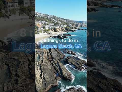
THINGS TO DO · YOUTUBE SHORT
A local activity Short shared by Megan Across The Map.
Watch on YouTube ↗
THINGS TO DO · YOUTUBE SHORT
A local activity Short shared by Discover Southern California.
Watch on YouTube ↗


Prado Dam (US Army Corps of Engineers), about 26 miles north of Laguna Beach as the crow flies. Next are Whittier Narrows Dam (38 mi) and Santa Fe Dam (42 mi).
Based on Laguna Beach’s average highs, all year. Conditions at higher elevations can be much cooler.
Federal agencies including US Army Corps of Engineers, USDA Forest Service, Fish and Wildlife Service. Each listing links to its official page for hours, fees, closures and current conditions.